We collect samples with a 2-metric-ton track-mounted rig that handles Airdrie's variable ground conditions. The machine drives hollow-stem augers to retrieve disturbed and undisturbed cores from depths up to 15 meters. Back in the lab, we run sieves and hydrometer analysis per ASTM D6913 and D7928. For soil classification, we apply the Unified Soil Classification System (USCS) per CFEM (Canadian Foundation Engineering Manual) and the AASHTO system per ASTM D3282. The combination gives contractors a clear picture of frost susceptibility, compaction potential, and bearing capacity. For sites with organic layers or peat lenses, we also do suelos organicos testing to quantify decomposition.
Airdrie's glacial till can shift from GC to CL within 200 meters. One misclassification can cost a foundation redesign.
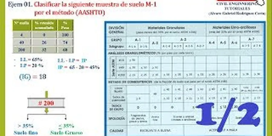
Methodology applied in Airdrie
Risks and considerations in Airdrie
A common error: builders assume all Airdrie till is the same. They skip soil classification and use a generic design. The result? Differential settlement in the northwest where clay layers compress under load. Or frost heave damage in the southeast when gravelly soils are misclassified as non-frost-susceptible. We've seen slab-on-grade floors crack within two winters because the USCS group symbol was wrong. Proper classification catches these issues before concrete is poured. It also prevents over-design on good ground. The cost of re-classifying after failure always exceeds the upfront test.
Our services
We offer two core soil classification services tailored to Airdrie's geology:
Field Classification & Logging
On-site visual-manual classification per CFEM. We log every borehole, assign USCS group symbols, and note moisture, color, and consistency. Results in 24 hours.
Laboratory Classification Suite
Full USCS and AASHTO classification including sieve, hydrometer, Atterberg limits, and organic content. Report includes group index, frost susceptibility rating, and compaction curve.
Common questions
What is the difference between USCS and AASHTO soil classification?
USCS (CFEM (Canadian Foundation Engineering Manual)) groups soils by grain size and plasticity — great for geotechnical design. AASHTO (ASTM D3282) classifies by pavement performance — used for road subgrade and base. We provide both on every Airdrie sample.
How much does soil classification cost in Airdrie?
Typical cost ranges between CA$90 and CA$120 per sample for the full classification suite (sieve, hydrometer, Atterberg, AASHTO group index). Volume discounts apply for 10+ samples.
Which soil types dominate Airdrie and how do they classify?
Glacial till (GC, CL) dominates the southeast. Glaciolacustrine clay and silt (ML, CL-ML) prevail in the northwest. Under AASHTO, till is A-1-b or A-2-4; clay areas are A-4 or A-6. Group index varies from 0 to 12.
How long does a full USCS/AASHTO classification take?
Field classification (visual-manual) is same day. Laboratory classification including sieve, hydrometer, and Atterberg takes 5 to 7 business days. Rush service available for 3-day turnaround.
What standards do you follow for soil classification in Airdrie?
We strictly follow CFEM (Canadian Foundation Engineering Manual) for USCS, ASTM D3282 for AASHTO, and NBCC 2020 for foundation design. Our lab is ISO 17025 accredited for sieve and Atterberg tests.